Garmin's Handheld GPS devices use satellites for precise navigation during outdoor activities like hiking and camping.

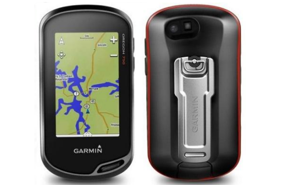
With high-sensitivity GPS & GLONASS satellite tracking, worldwide basemap with shaded relief & customizable buttons for 1-touch image capture & waypoint marking, Oregon 650 opens a new world of GPS mapping & positioning. 8 MP autofocus camera with LED flash/torch. 3-axis compass with accelerometer & barometric altimeter sensors.

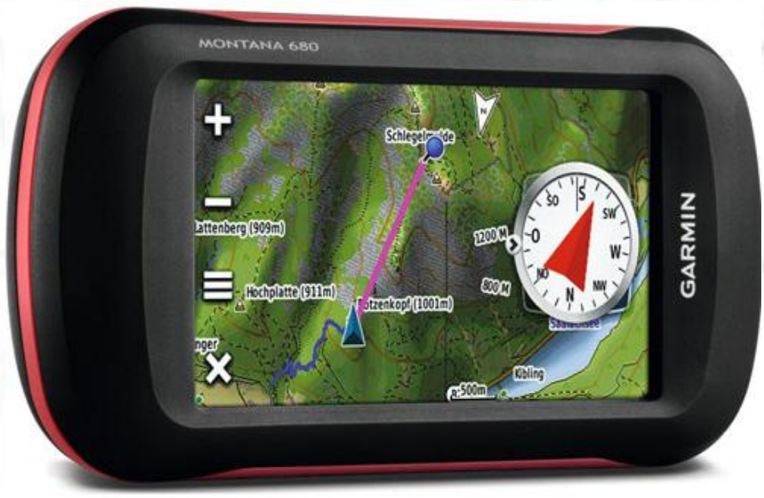
Montana 680 features a bold 4 inches color touchscreen dual orientation display & supports multiple mapping options like BirdsEye™ Satellite Imagery & it has a 8 megapixel Camera to boot. Montana has key features for the outdoors such as a 3-axis tilt-compensated compass & barometric altimeter, wireless data sharing, high-sensitivity GPS receiver, microSD™ card slot, 8 GB Internal Memory.

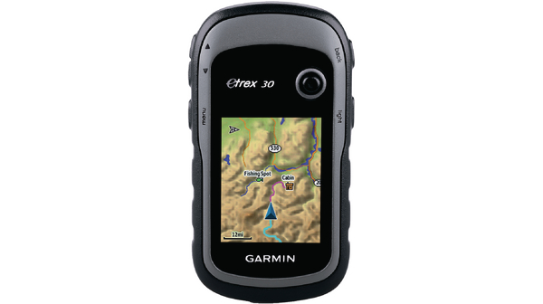
eTrex 32x is the most reliable hand held GPS, it has sunlight readable display. eTrex 30 adds a built-in 3-axis tiltcompensated electronic compass. The new eTrex series is the first-ever consumer-grade receivers that can track both GPS & GLONASS satellites simultaneously. GLONASS is a system developed by the Russian Federation. When using GLONASS satellites, the time it takes for the receiver to “lock on” to a position is (on average) approximately 20 percent faster than using GPS. & when using both GPS & GLONASS, the receiver has the ability to lock on to 24 more satellites than using GPS alone. You can Add Maps With its microSD™ card slot & 1.7 GB of internal memory, eTrex 30 lets you load TOPO 24K maps or City Navigator NT® map data for turn-by-turn routing on roads. eTrex 30 also supports BirdsEye™ Satellite Imagery (subscription required), that lets you download satellite images to your device & integrate them with your maps.