Geophysics is a branch of Earth science that focuses on the application of principles and methods from physics to study the Earth's properties and processes. It involves the use of various physical principles and techniques to investigate the Earth's interior, its gravitational and magnetic fields, seismic activity, and other phenomena. Geophysicists seek to understand the underlying physical properties of the Earth and how they contribute to the dynamic behavior of the planet.
IX1D v3 is a 1-D Direct Current (DC) resistivity, Induced Polarization (IP), Magnetotelluric (MT) and electromagnetic sounding inversion program. It performs forward and inverse modeling in terms of a layered earth with resistivity and optional IP parameter for most sounding methods (DC, FEM, TEM, MT, EM Conductivity). IX1D v3 also does smooth modeling in terms of many layers and equivalence analysis of the inverted layered model. It also allows for well log viewing, reduction and plotting. IX1D v3 can hold many soundings in its data base. It supports import of profiles as well as creation of profiles from imported soundings.
A method of the vertical electrosounding (VES) is one of the oldest methods of electric prospecting. The first applications of method were in 20th years of XX century. Comparative simplicity and evidence of VES resulted in its wide distribution and development in the whole world. Nowadays vertical electric sounding remains one of the most applied electromagnetic methods. Other modern technologies are developed on the basis of VES – for example, electrical tomography, based on the same principles that for electric soundings
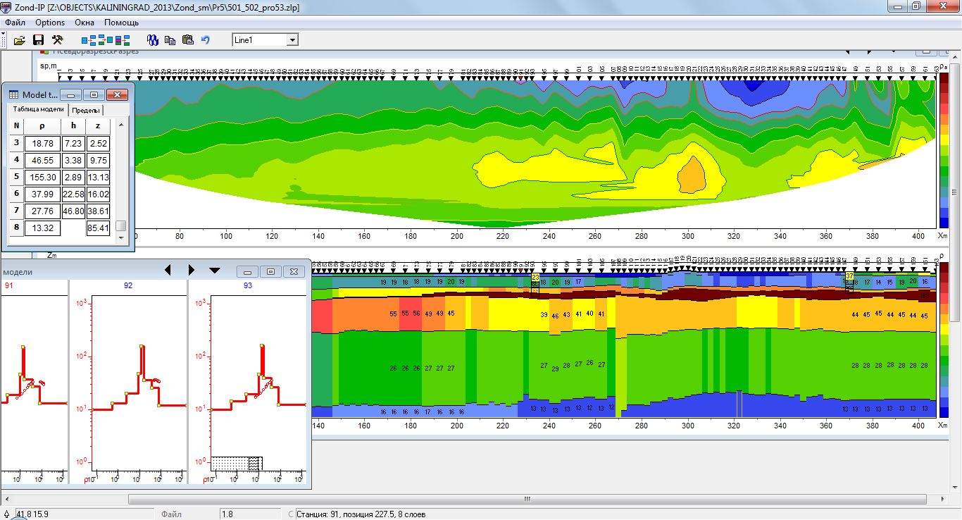
Electrical tomography (Resistivity imaging) is technique including both the method of field observations and technology of processing and field resistivity and IP data interpretation. Its feature is multiple reusing as a source and receiver just the same electrodes position, fixed on a profile line. Program is designed for two-dimensional interpretation of electrical tomography data by resistivity and induced polarization method in land, cross-borehole and water cases.
Electrical tomography is a whole technique including the method of field observations and technology of processing and field data interpretation. Its feature is multiple reusing as a source and receiver just the same electrodes position, fixed on a site. Such approach allows from one hand to work with a modern high-performance instruments, and on the other hand to apply effective algorithms of modeling and inversion. For interpretation of electrical tomography data two- and three-dimensional models is used.
Let us know, we'll take care of the rest. Our support team will get back to you ASAP.