GIS (Geographic Information System) and Remote Sensing studies involve the application of technologies and methodologies to analyze, interpret, and manage spatial and geographic data for various purposes. These two fields are often integrated to provide a more comprehensive understanding of the Earth's surface and its features.

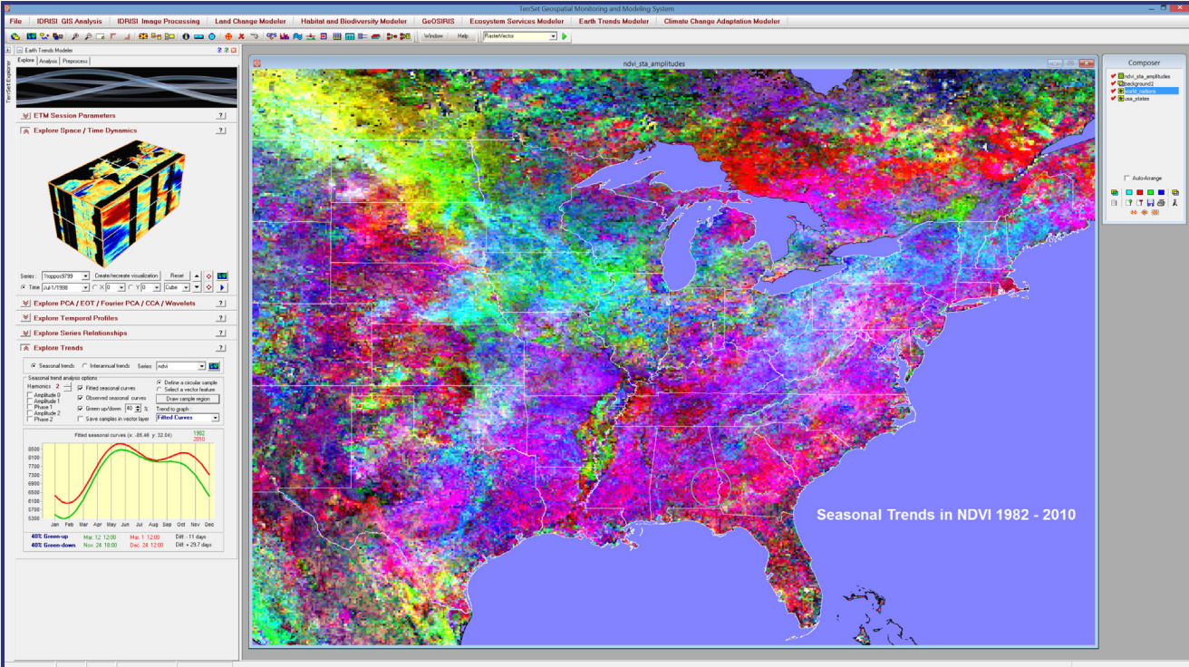
TerrSet is an integrated geospatial software system for monitoring and modeling the earth system for sustainable development. The TerrSet System incorporates the IDRISI GIS Analysis and IDRISI Image Processing tools along with a constellation of vertical applications. TerrSet offers the most extensive set of geospatial tools in the industry in a single, affordable package. A complete GIS analysis tool set offers over 300 analytical tools. Package for basic & advanced spatial analysis, including tools for surface & statistical analysis, decision support, & change & time series analysis

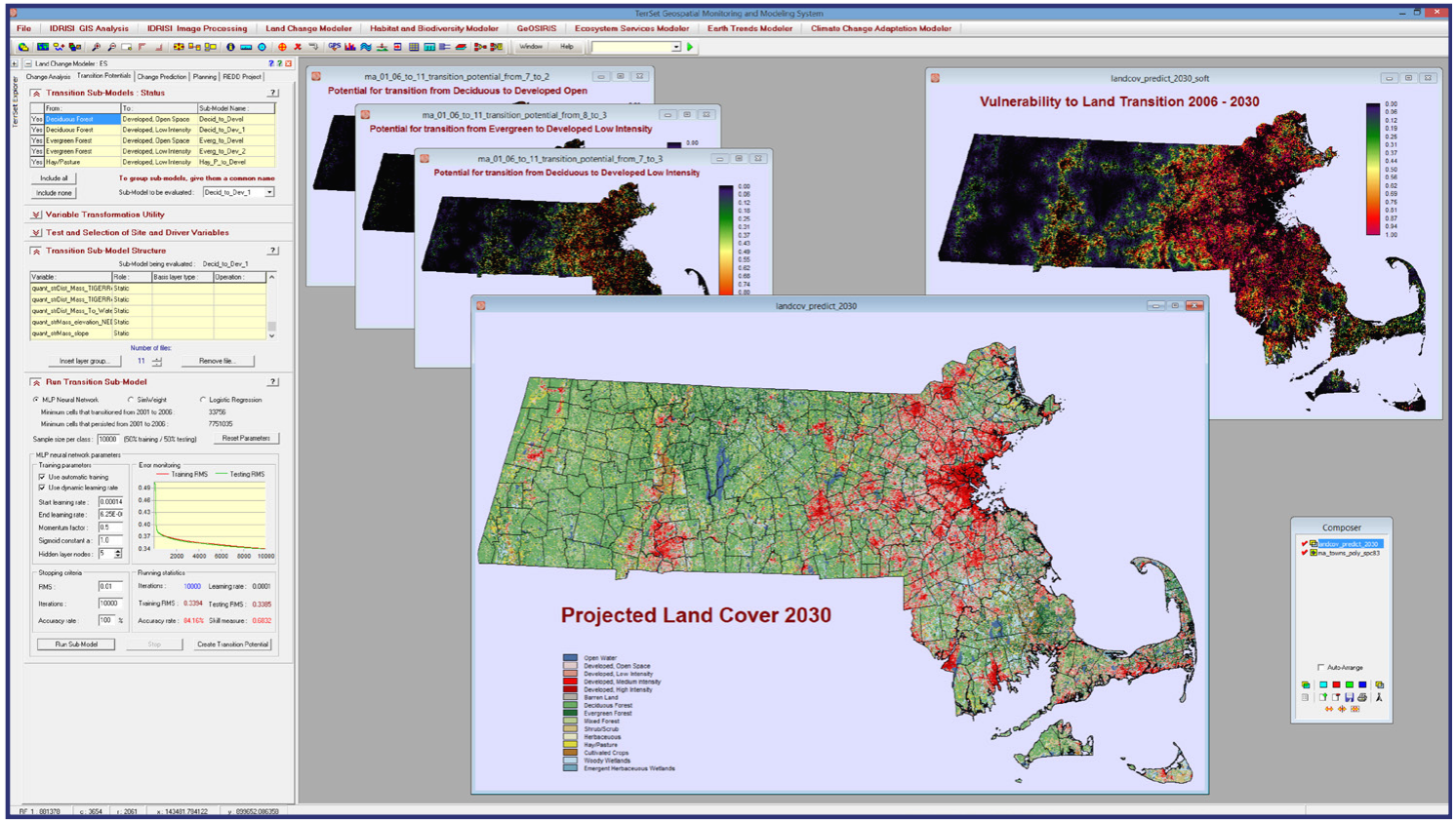
Land cover change is one of the largest imprints of humans on the Earth system. Understanding and projecting transitions into the future is critical for smart development, biodiversity conservation and managing climate mitigation strategies such as REDD (Reducing Emissions from Deforestation and forest Degradation). The Land Change Modeler (LCM) analyzes historical land cover data to assess, model and predict land cover change using powerful machine learning procedures.
Let us know, we'll take care of the rest. Our support team will get back to you ASAP.