Groundwater studies involve the exploration, assessment, and management of the water stored beneath the Earth's surface in saturated zones of soil and rock. This subsurface water, known as groundwater, is a critical component of the hydrological cycle and serves as a vital source of drinking water and irrigation for many regions around the world. Groundwater studies encompass various aspects to understand the quantity, quality, movement, and sustainable use of this important water resource.

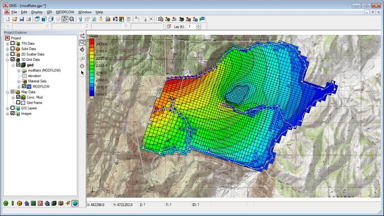
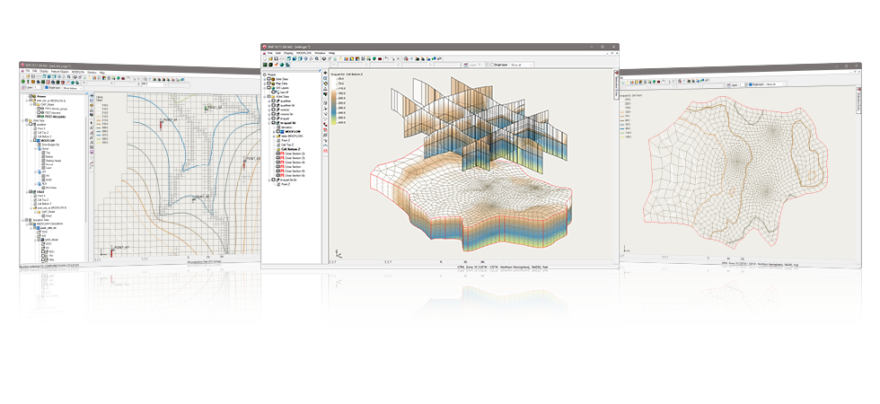
GMS is the most sophisticated & comprehensive groundwater modeling software available. MODFLOW-III Package Includes following Modules ● 3 D Grid Import & View ● 3D Grid Edit & Save ● Annotation Tools ● MODFLOW Model ● PEST Utility Single Core ● GIS Tools ● Conceptual Model Tools ● MODPATH Model ● Geostat ● Scatter Data ● Parallel PEST MultiCore ● Stochastic Modeling ● Subsurface Char ● SAMG Solver ● T-PROG, MODAEM, ● MT3DMS, RT3D ● SEAWAT

GMS is the most sophisticated & comprehensive groundwater modeling software available. PREMIUM Complete Package Includes following Modules ● 3D Grid Import & View ● 3D Grid Edit & Save ● Annotation Tools ● MODFLOW Model ● PEST Utility Single Core ● GIS Tools ● Conceptual Model Tools ● MODPATH Model ● Geostat ● Scatter Data ● Parallel PEST MultiCore ● Stochastic Modeling ● Subsurface Char ● SAMG Solver ● T-PROG, MODAEM ● MT3DMS, RT3D ● SEAM3D, SEAWAT ● SEEP2D ● FEMWATER Models ● 3D FE MESH Tool

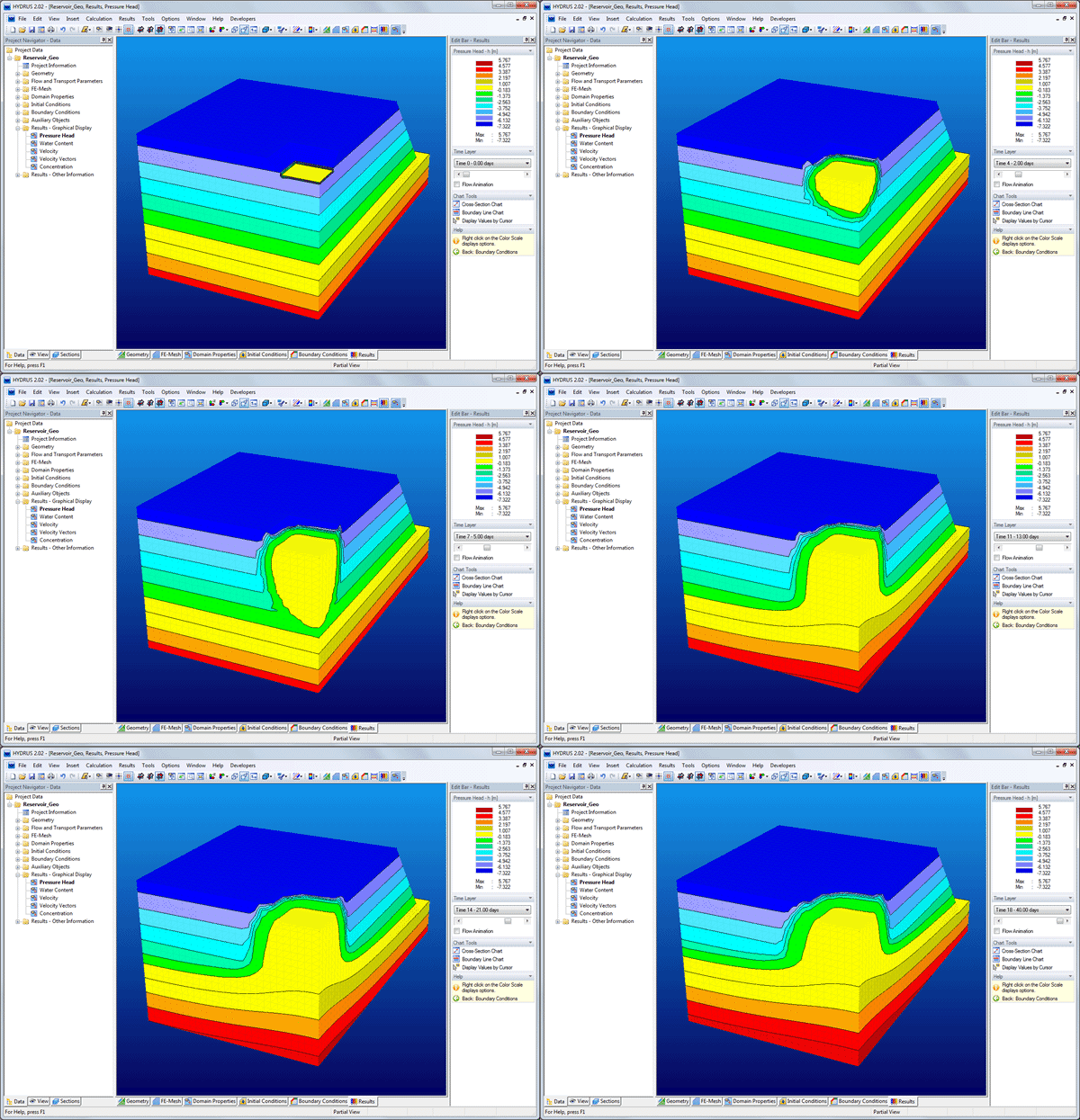
HYDRUS 2D/3D is a Microsoft Windows based software package for simulating water, heat, and solute movement in two- and three-dimensional variably-saturated porous media (soils). The software package consists of computational computer programs and an interactive graphics-based user interface for data-preprocessing, generation of structured and unstructured finite element mesh, and graphic presentation of the results. The model includes a parameter optimization algorithm for inverse estimation of a variety of soil hydraulic and/or solute transport parameters. HYDRUS is distributed in five different versions (Levels) so that users may acquire only that segment of the software that is most appropriate for their application. HYDRUS Levels : 2D – Lite / Standard, 3D – Lite / Standard & 3D – Professional
Let us know, we'll take care of the rest. Our support team will get back to you ASAP.