Transforming Complexity into Clarity
In the realm of geological exploration, the sheer volume and complexity of data generated demand sophisticated tools for effective interpretation and decision-making. We stand at the forefront of this challenge, offering a comprehensive suite of customized solutions that excel in the realm of data visualization and analysis.
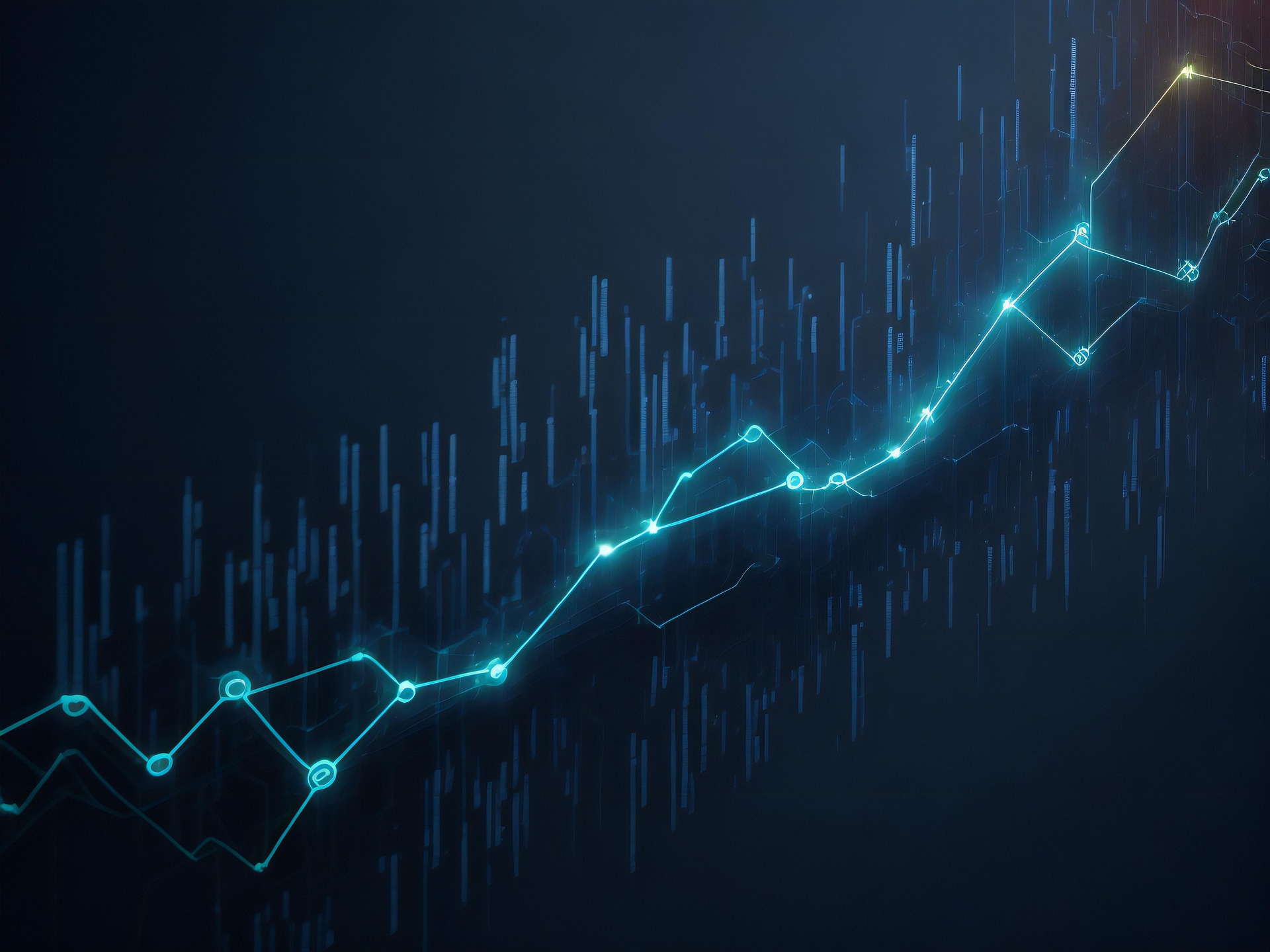
Visual Storytelling :
Geological exploration involves dealing with vast datasets derived from geological surveys, satellite imagery, drilling logs, and various remote sensing technologies. These datasets often contain intricate patterns, subtle correlations, and crucial information that require keen insights. The data visualization and analysis tools developed by us are engineered to unravel the complexities inherent in geological data, transforming raw information into visually intuitive representations.Our customized solutions prioritize the art of visual storytelling. Through interactive and dynamic visualizations, users can explore geological features, mineral distributions, and subsurface structures with unprecedented clarity. Whether it's mapping the topography of a mining site or interpreting seismic data in the oil and gas sector, our tools empower geoscientists to tell compelling visual stories that form the basis for strategic decision-making.
Real-Time Analysis for Dynamic Decision-Making :
Geological landscapes are dynamic, and real-time analysis is crucial for adapting to changing conditions. Our data visualization tools offer real-time analysis capabilities, allowing users to monitor and analyze data as it is collected. This dynamic approach enables geoscientists to respond swiftly to emerging patterns or anomalies, fostering a proactive decision-making process. In today's interconnected world, collaboration is key. Our data visualization solutions are designed with collaboration in mind, allowing geoscientists to share visualizations, insights, and analyses in real time. This collaborative approach fosters cross-disciplinary teamwork and ensures that all stakeholders have access to the most up-to-date information, promoting a cohesive and informed decision-making environment.
Customizable Dashboards :
Recognizing that different projects require different insights, our solutions come equipped with customizable dashboards. Users can tailor their dashboards to display the specific metrics and visualizations most relevant to their objectives. This flexibility ensures that each geoscientist can focus on the aspects of the data that matter most for their particular project, enhancing both efficiency and effectiveness.
Integration with Machine Learning Algorithms :
Incorporating advancements in artificial intelligence, our data visualization and analysis tools seamlessly integrate with machine learning algorithms. This not only automates certain aspects of data interpretation but also enhances the predictive capabilities of the software. By leveraging machine learning, our solutions assist geoscientists in identifying patterns, trends, and anomalies that might be challenging to discern through traditional analysis methods.
One of our primary objectives in custom software development is to streamline workflows. Our team collaborates closely with clients to identify bottlenecks and inefficiencies in their existing processes. By comprehensively understanding their operations, we design software that optimizes workflows, reducing redundancies and enhancing overall productivity. This tailored approach ensures that our clients have software that seamlessly integrates into their existing systems, minimizing disruptions while maximizing efficiency gains.
Our team consists of competent professionals with extensive experience in their respective disciplines. Their expertise ensures quality service and support.